See your EIA in action.
Field Research
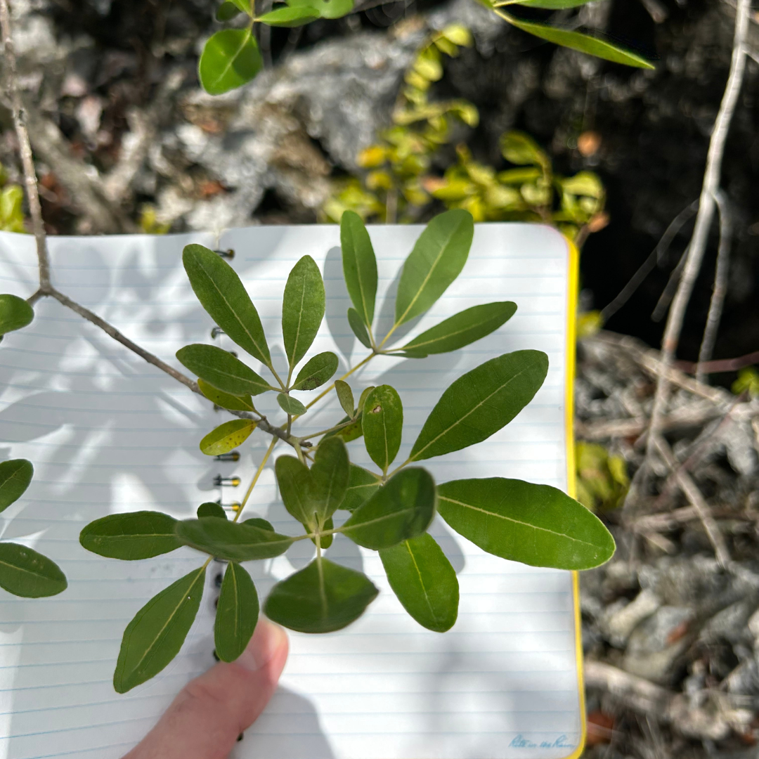
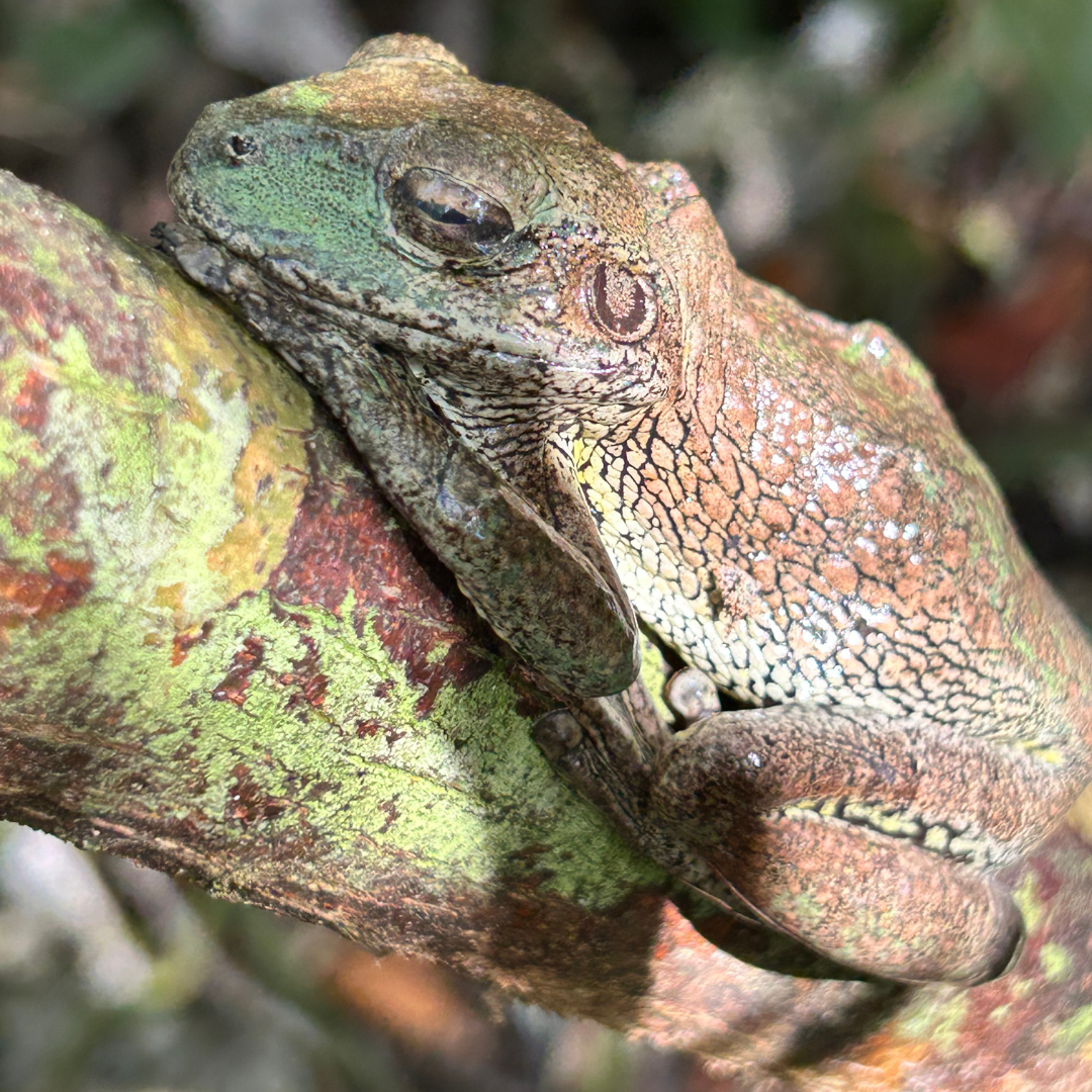
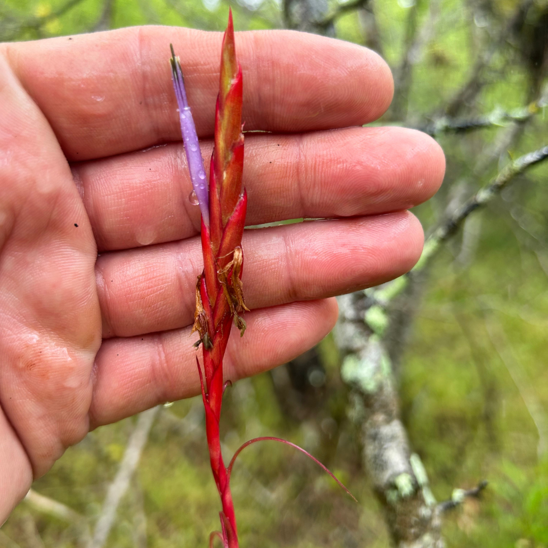
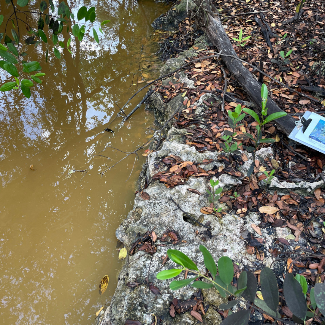
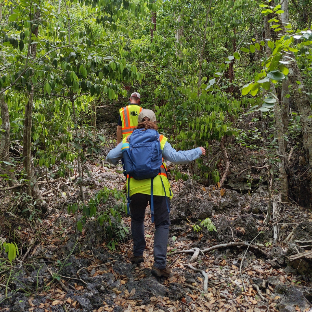
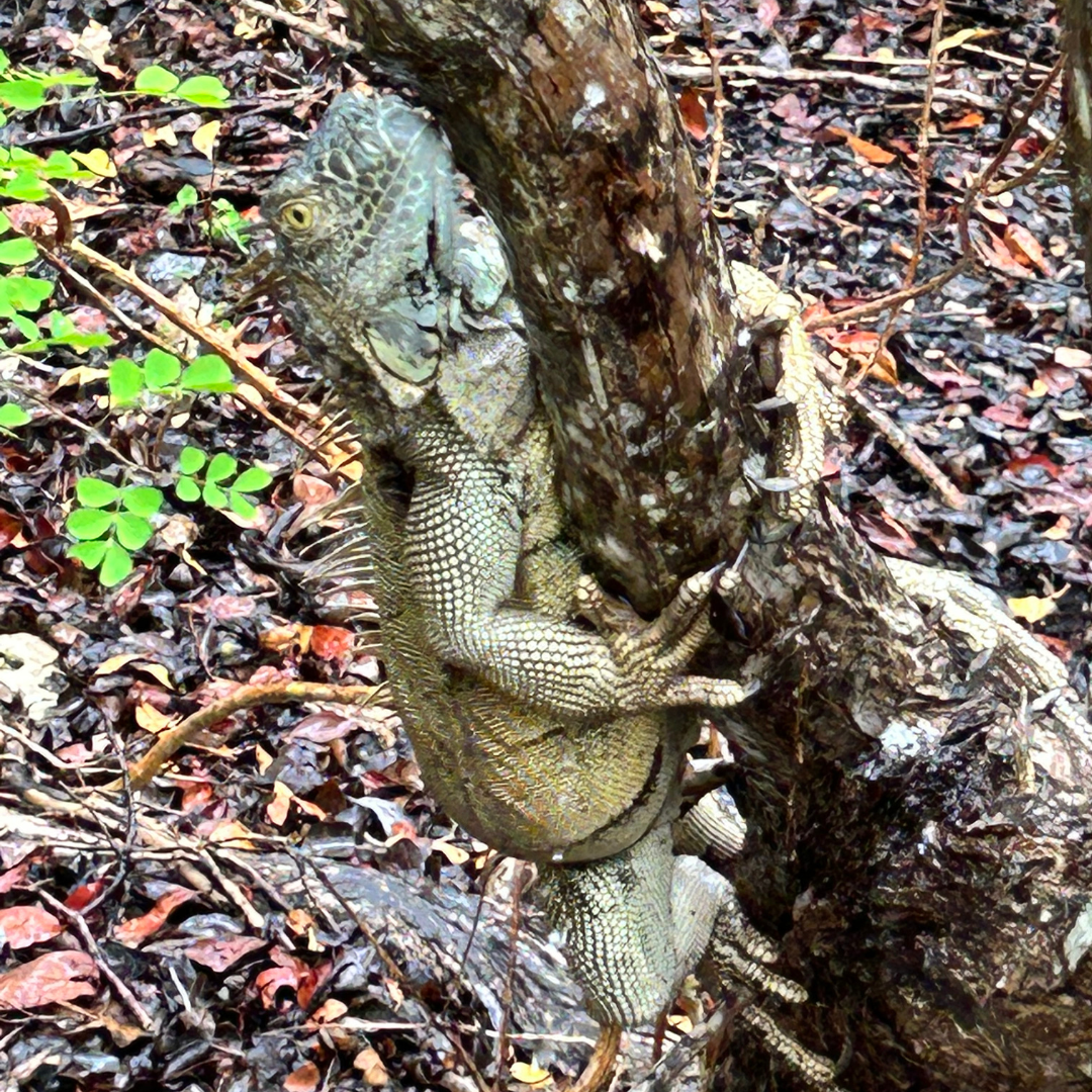
Completing the EIA involves research, data collection, and field work. The scientists and engineers on the project team conduct desktop research and analysis before heading into the field to collect data points and assess current conditions within the study area. From setting up noise receptors to assessing habitat quality, the scientists behind this EIA gather real-world information for comprehensive and holistic analysis and evaluation.
Field Research in action.
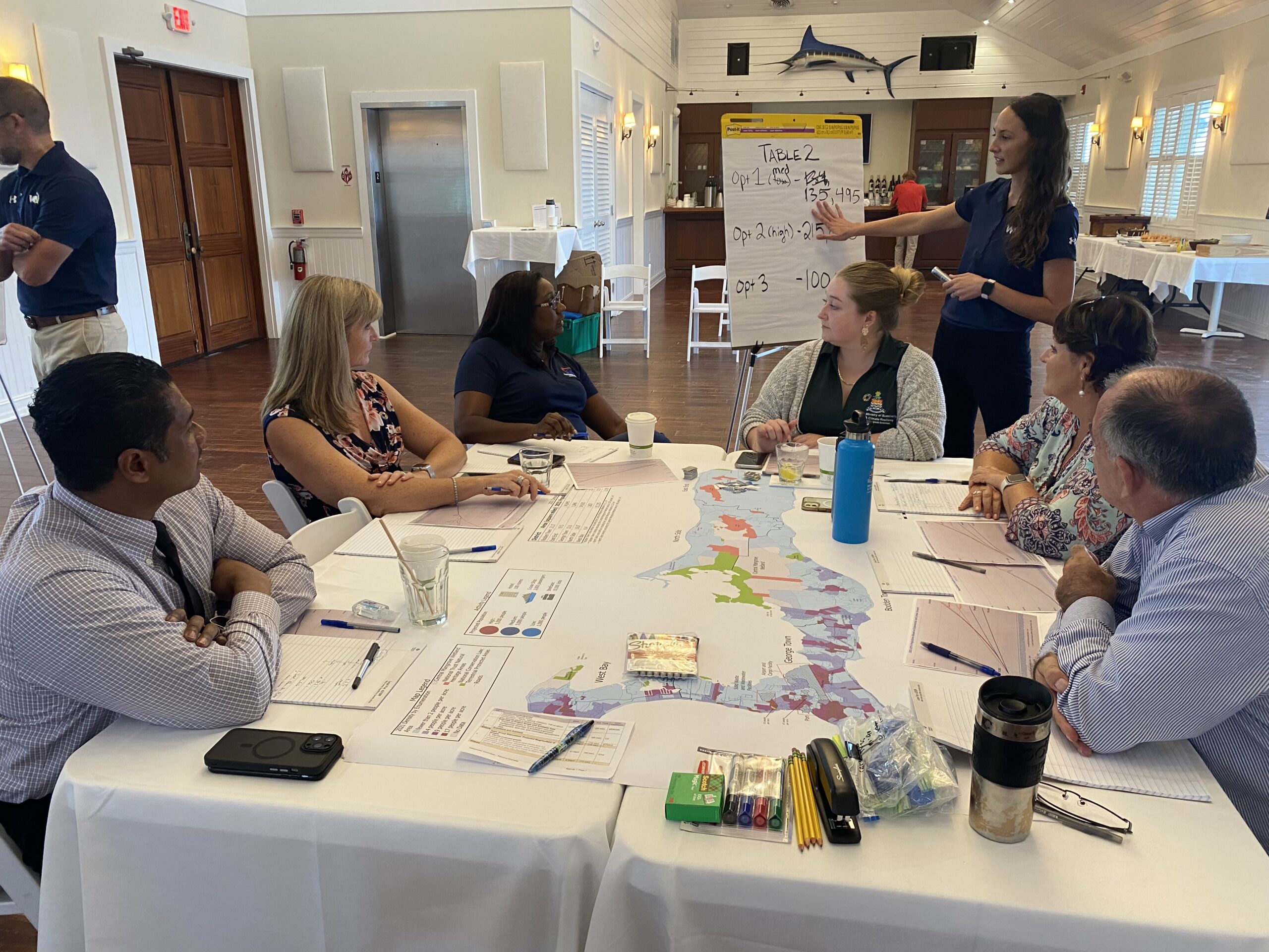
Land Use Charrette
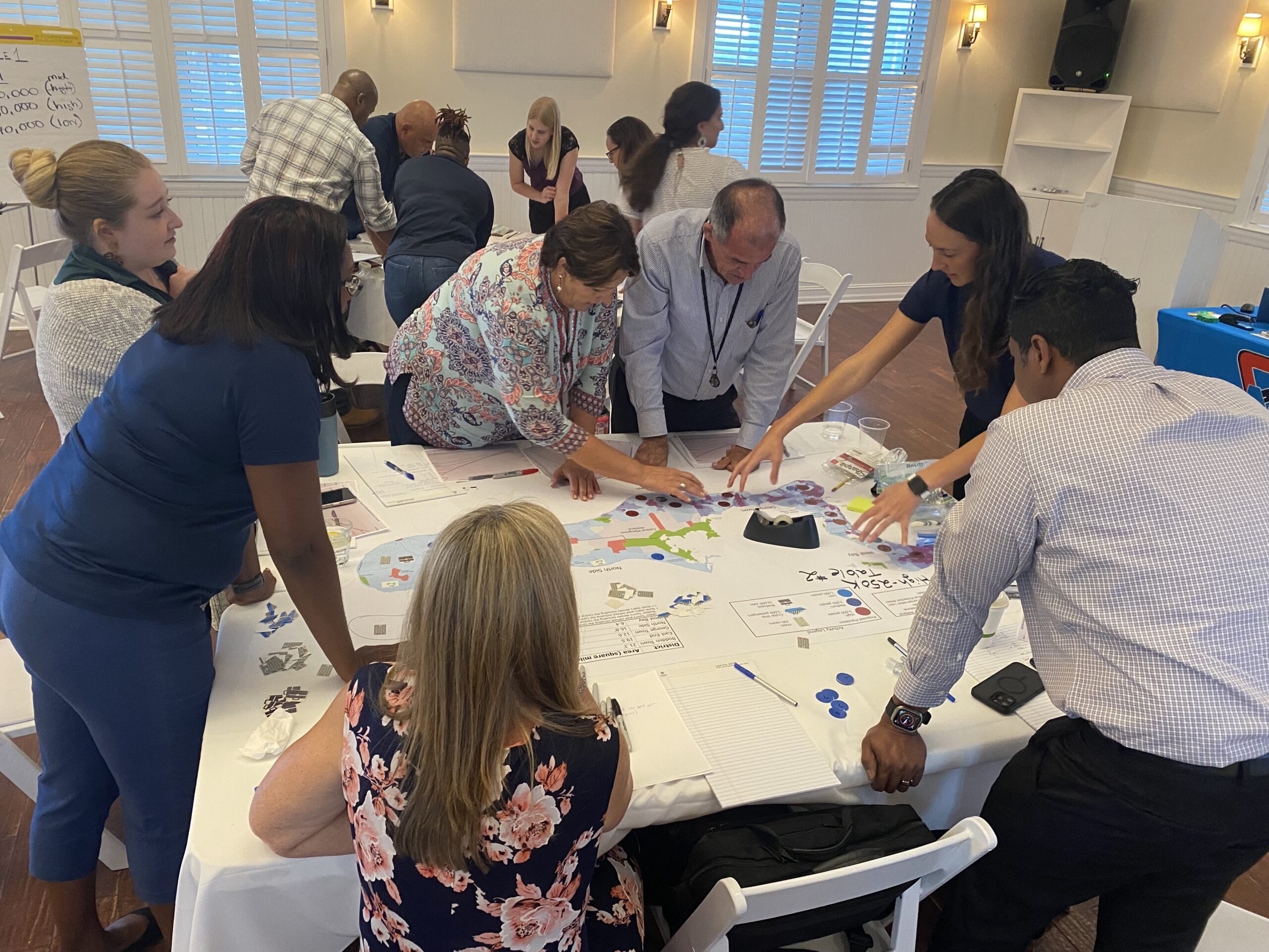
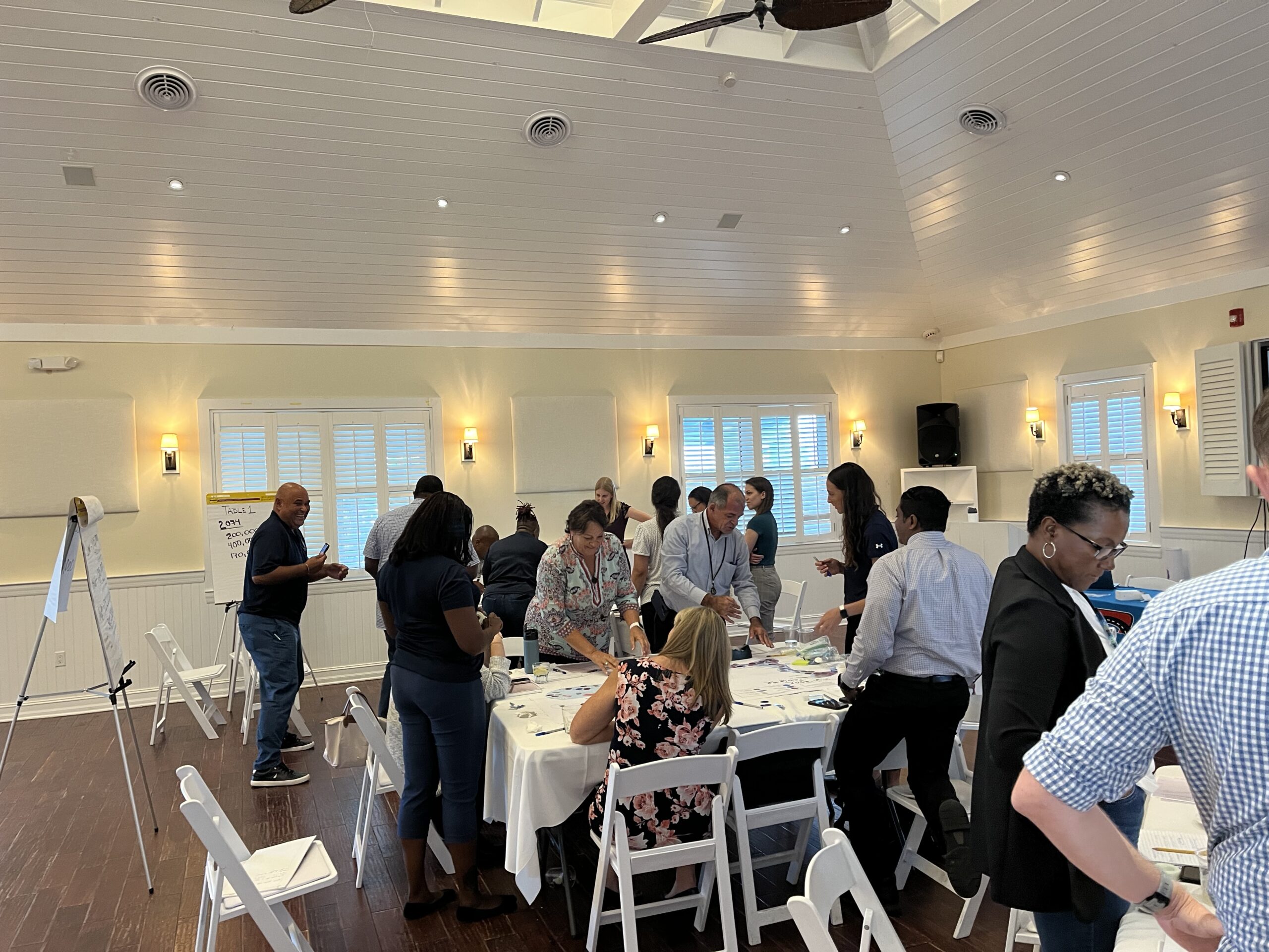
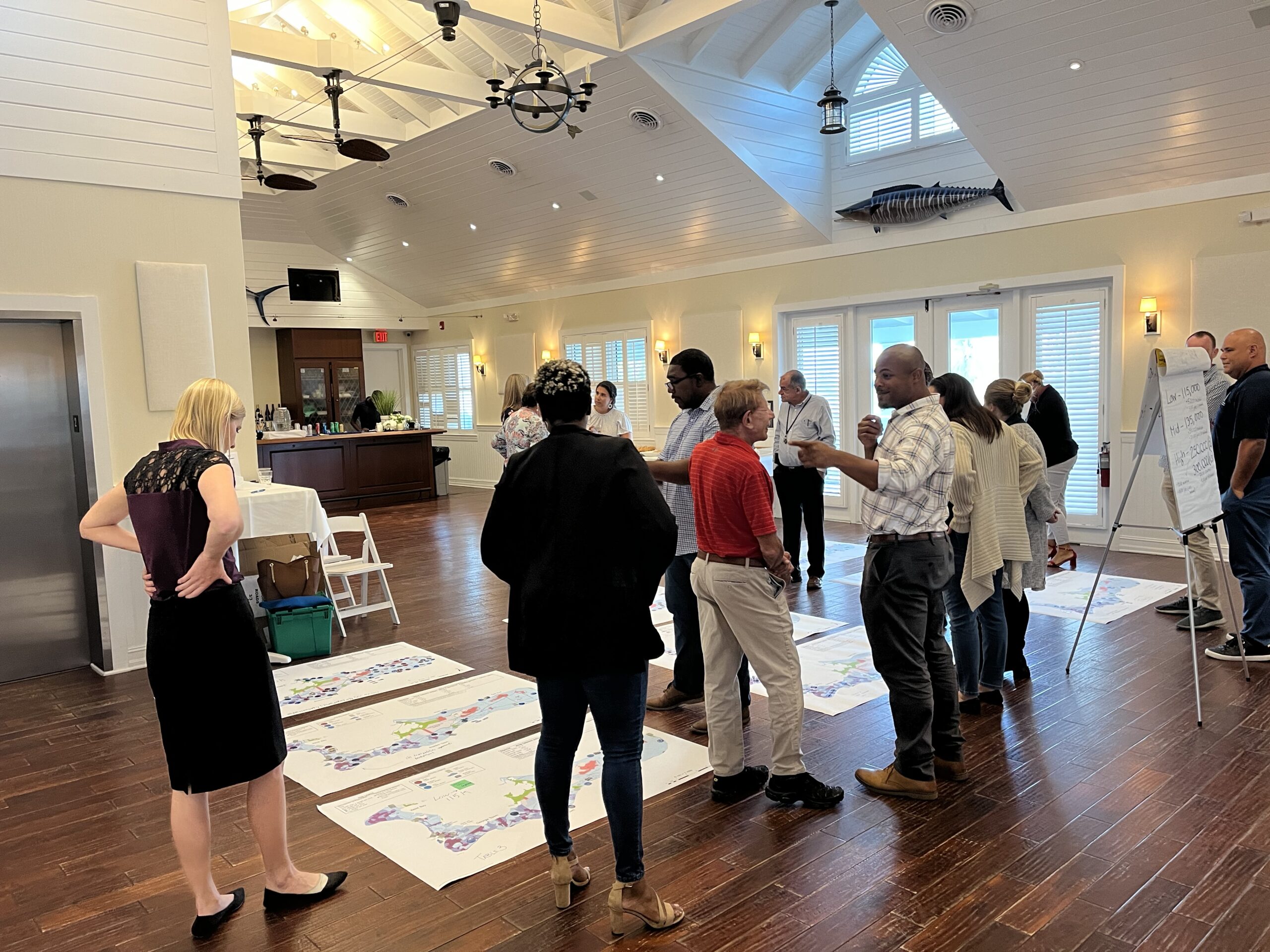
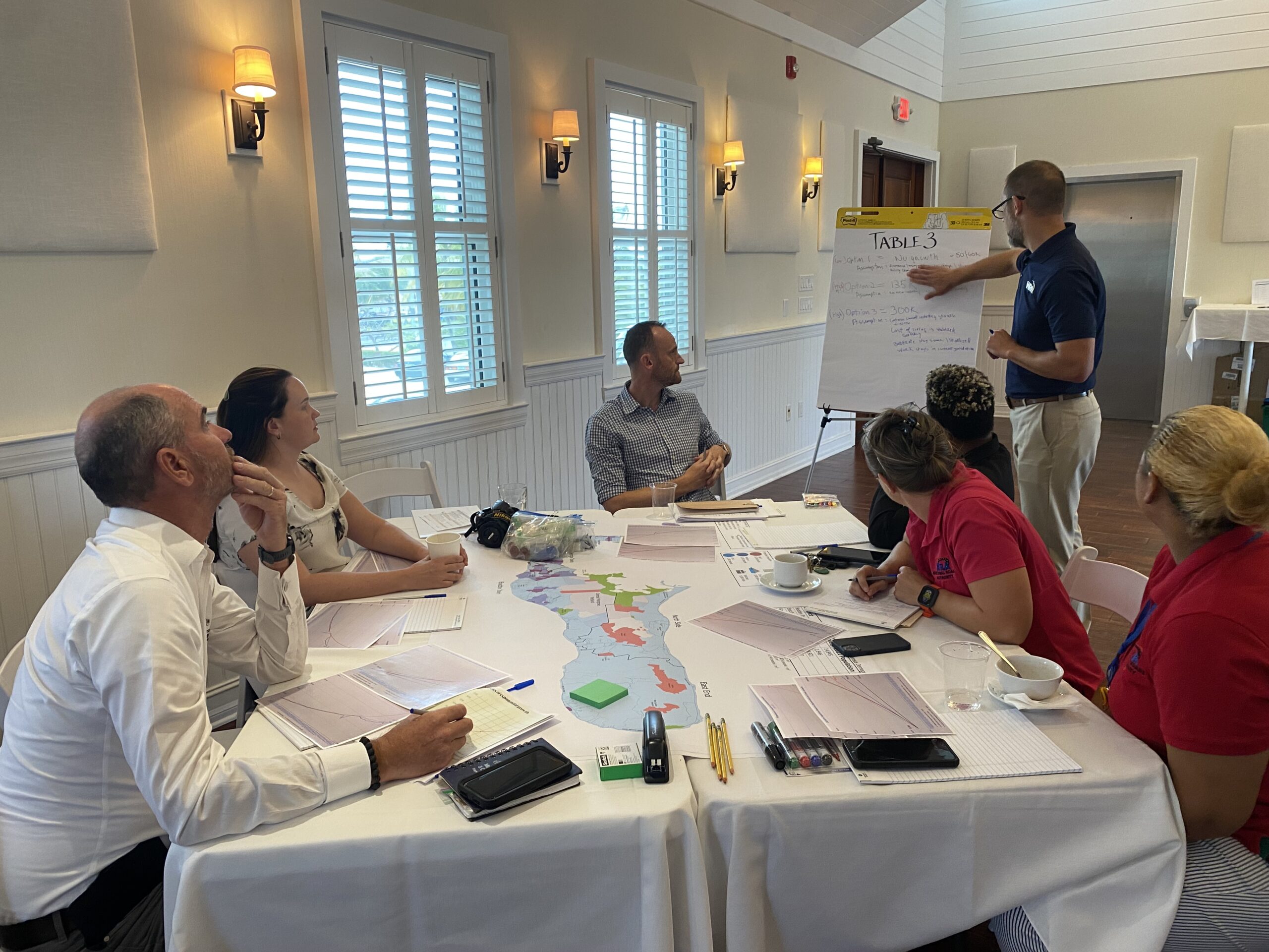
Following input from the public during the the Terms of Reference consultation phase, the EIA evaluation team met on 25 July 2023 to conduct a Land Use Planning Charrette for the purpose of determining three possible land use scenarios that may occur on Grand Cayman in future year 2074.
A land use charrette is a workshop designed to inform and shape the vision for a project or planning activities. Charrettes often assemble experts and relevant government officials. Focused on diverse endeavors like park and building design or community and transportation planning, these sessions gather insights on future challenges and enable participants to consider design solutions to address them. The goal of a charrette process is to create a realistic vision for future development. This intensive engagement ensures a holistic approach, fostering sustainable and community-centered solutions while incorporating the perspectives of the involved parties.
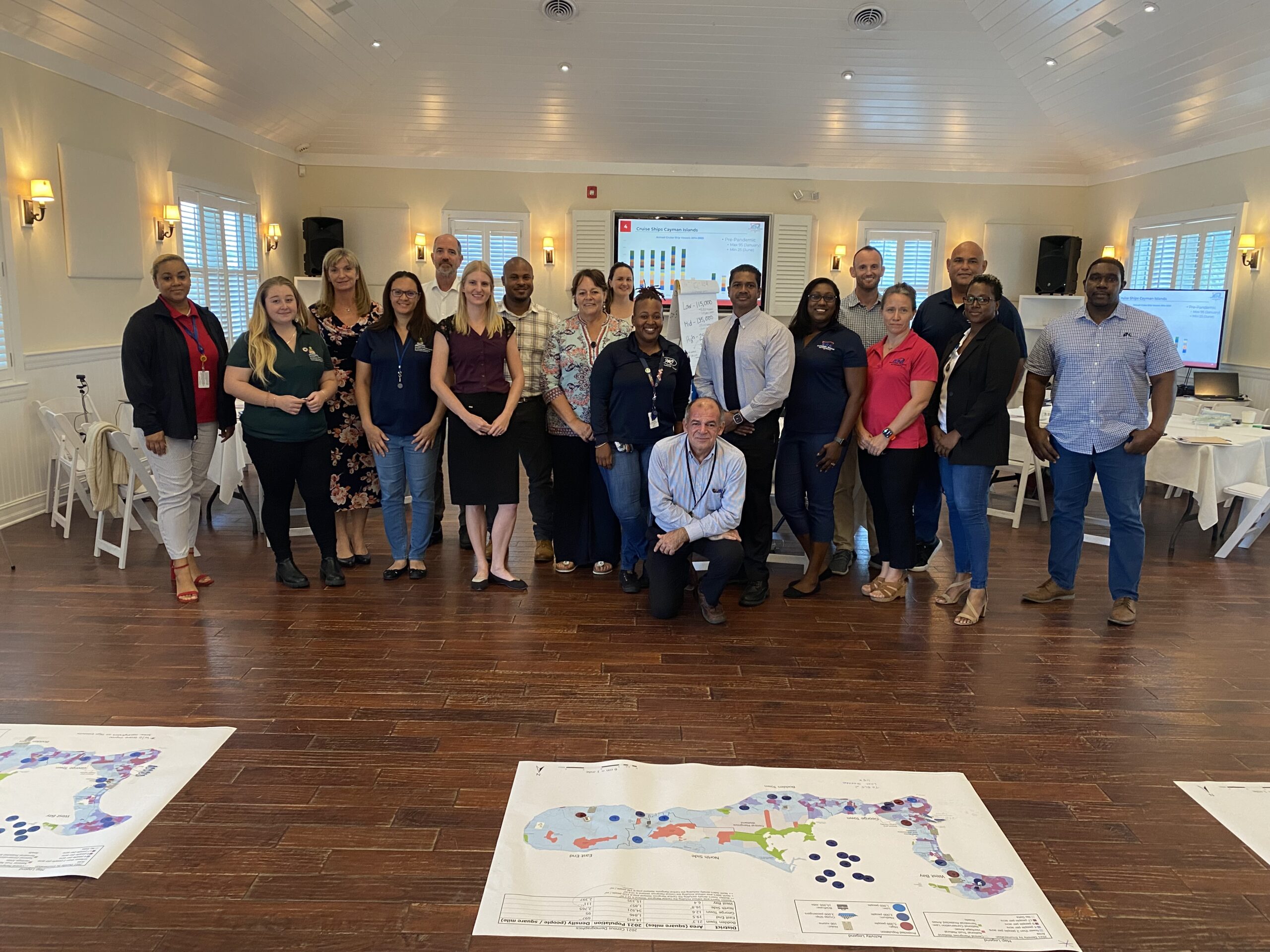
The EIA Land Use Planning Charrette meeting considered where people would reside on Grand Cayman, where employment might be located, and how many people there would be in the future to assess how to align transportation development. Members of the EWA EIA Steering Committee and relevant government ministries and departments were in attendance. Government ministries and departments represented included:
Land Use Charrette in action.
